


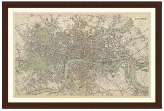
Map of Melbourne showing land and settlements, 1837 – Framed Print
$149 – $319
Description
Description
Very early map of Melbourne from 1837 showing location of surveyors tents, huts, store, church, cultivated ground and description of vegetation. The grid for the CBD streets had been planned but not yet started.
Available in 3 sizes:
- Small 35.7cm x 29cm
- Medium 49.1cm x 39cm
- Large 69.2cm x 54cm
Available in 3 Frame Types, Black, Dark Brown Wood and Light Brown Wood.
High quality framing with Non-Reflective glass. Printed on Ilford GALERIE Prestige Fine Art paper. 10 to 15 day turnaround for framing, but let us know if you need it by a particular date and we will try our best to make it happen.
Other sizes and frames available, email hello@historyguild.org for more.
The sale of these prints funds our history education programs, thank you for your support.
Additional Info
Additional information
| Size | Small, Medium, Large |
|---|---|
| Frame | Black Frame, Dark Brown Wood Frame, Light Brown Wood Frame |