Map of Western Australia, Swan River, 1851 – Framed Print
Price range: $149 through $319
Description
Description
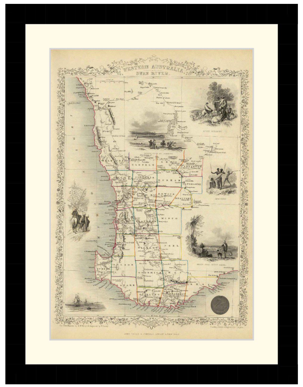
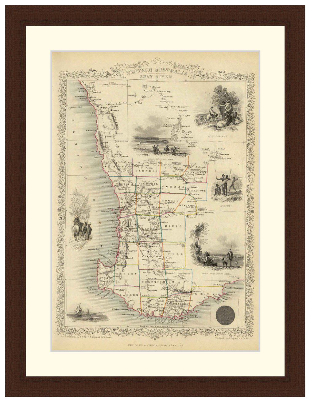
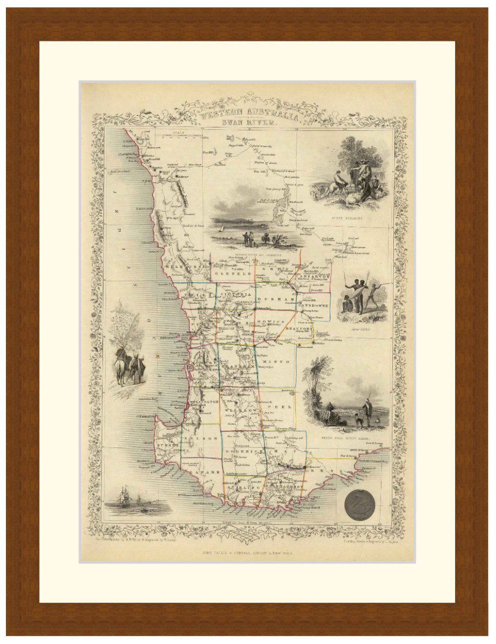
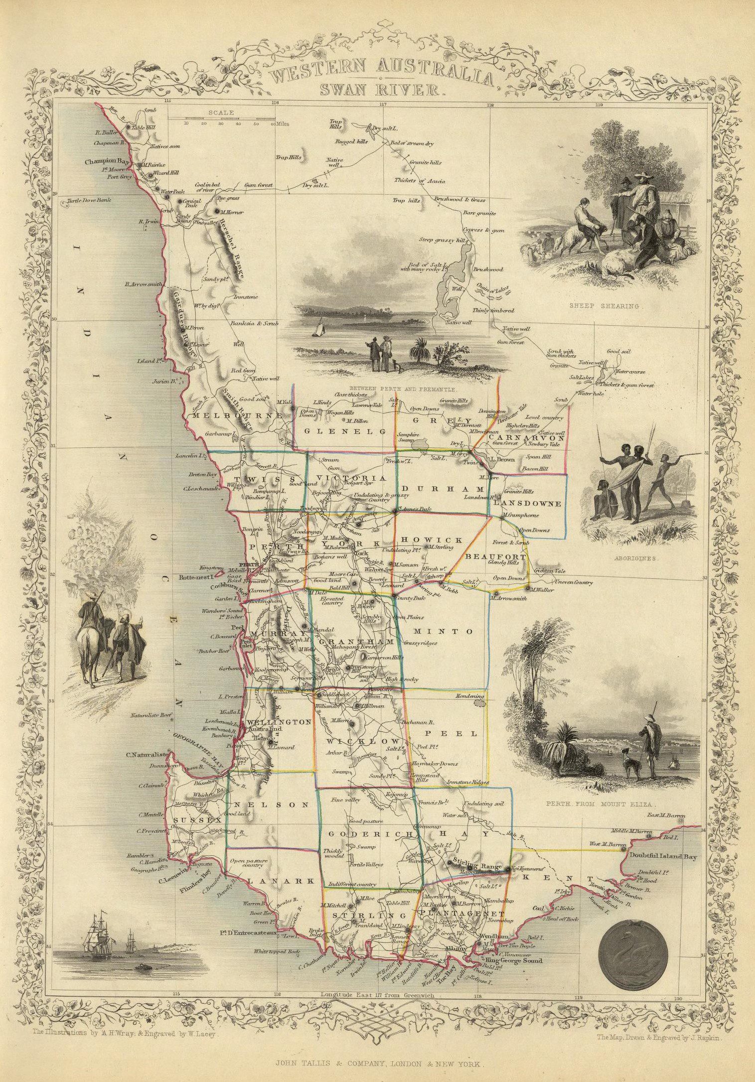
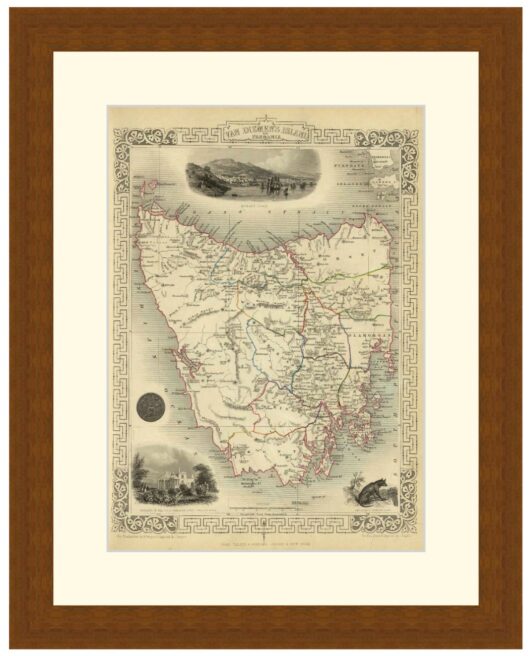
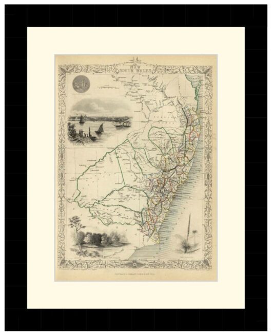
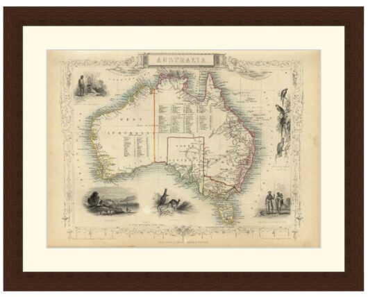
Detailed map of Western Australia by J. Rapkin, published by J & F Tallis in 1851. Each county in outlined in colour, surrounded by drawings of Aboriginals, sheep shearing and Perth. Flowered border.
Available in 3 sizes:
- Small 28.8cm x 37.5cm
- Medium 38.8cm x 51.8cm
- Large 53.8cm x 73.3cm
Available in 3 Frame Types, Black, Dark Brown Wood and Light Brown Wood.
High quality framing with Non-Reflective glass. Printed on Ilford GALERIE Prestige Fine Art paper .
10 to 15 day turnaround for framing, but let us know if you need it by a particular date and we will try our best to make it happen. Other sizes and frames available, email hello@historyguild.org for more. The sale of these prints funds our history education programs, thank you for your support.
Additional Info
Additional information
| Size | Small, Medium, Large |
|---|---|
| Frame | Black Frame, Dark Brown Wood Frame, Light Brown Wood Frame |