


Map of Indian Ocean, 1799 – Framed Print
$149 – $319
Description
Description
Map of Indian Ocean, Australia, New Zealand and Asia. Drawn by , Claude-Marie-Francois Dien, 1799. ‘Pour la relation du voyage a la recherche de la Perouse, du Cen. Labillardiere.’
Shows Australia as ‘Nouvelle Hollande’ with much of the coastline unmapped.
Available in 3 sizes:
- Small 36.4cm x 29cm
- Medium 50.2cm x 39cm
- Large 70.7cm x 54cm
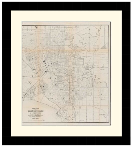
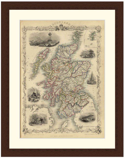
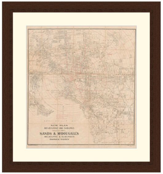
Available in 3 Frame Types, Black, Dark Brown Wood and Light Brown Wood.
High quality framing with Non-Reflective glass. Printed on Ilford GALERIE Prestige Fine Art paper. 10 to 15 day turnaround for framing, but let us know if you need it by a particular date and we will try our best to make it happen.
Other sizes and frames available, email hello@historyguild.org for more. The sale of these prints funds our history education programs, thank you for your support.
Additional Info
Additional information
| Size | Small, Medium, Large |
|---|---|
| Frame | Black Frame, Dark Brown Wood Frame, Light Brown Wood Frame |