World Map showing the latest discoveries of Capt. Cook, 1785 – Framed Print
Price range: $149 through $319
Description
Description
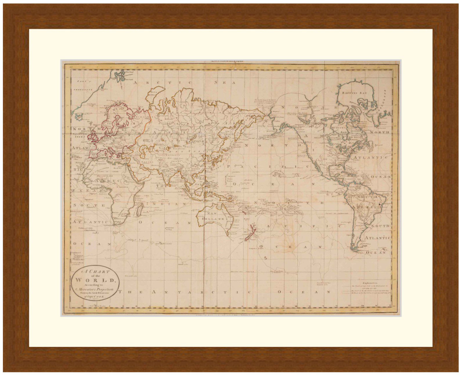
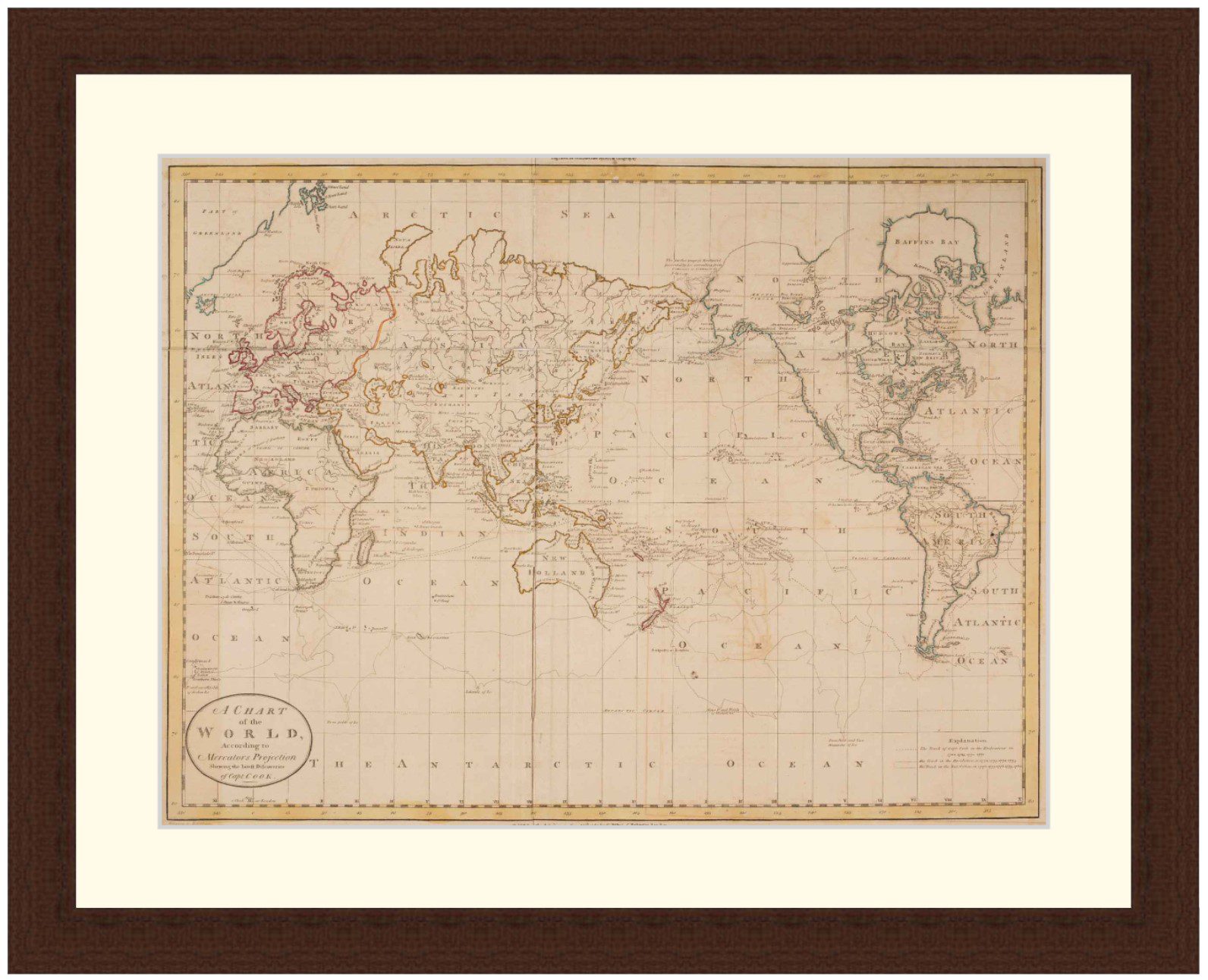
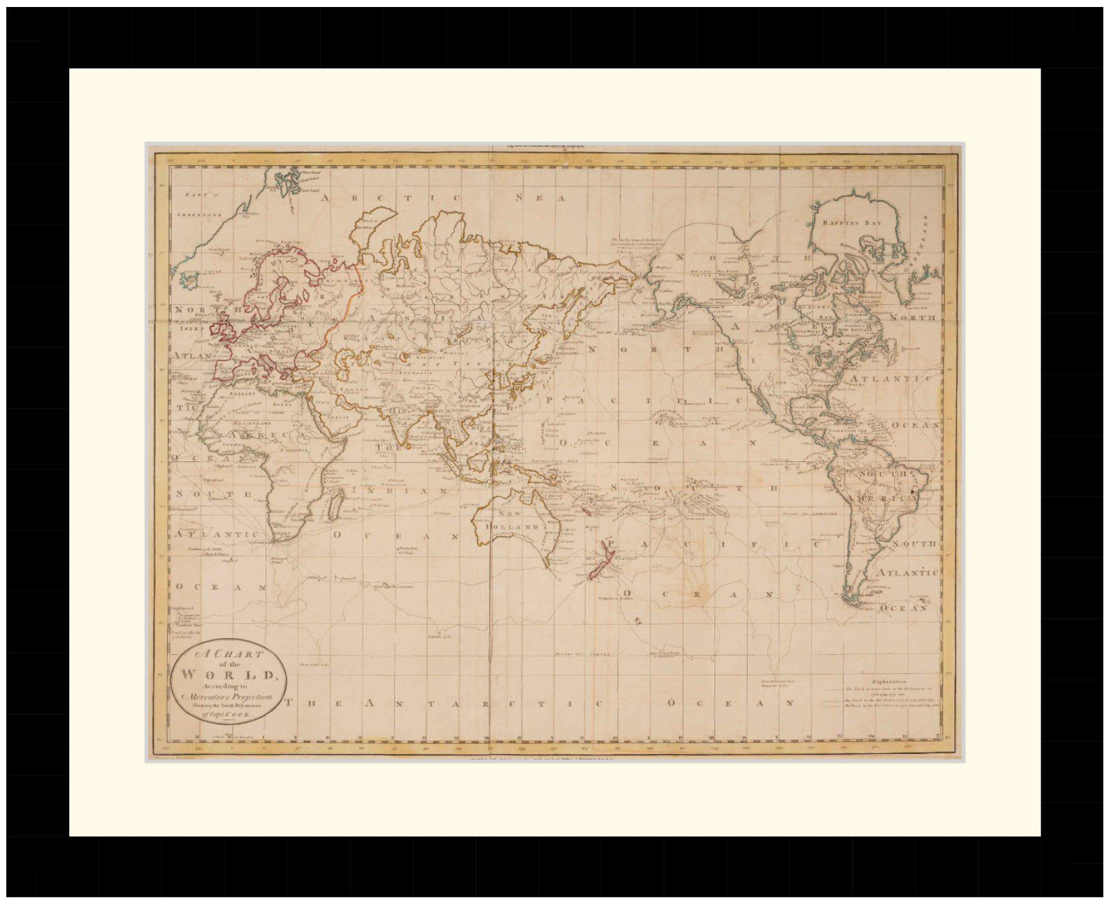
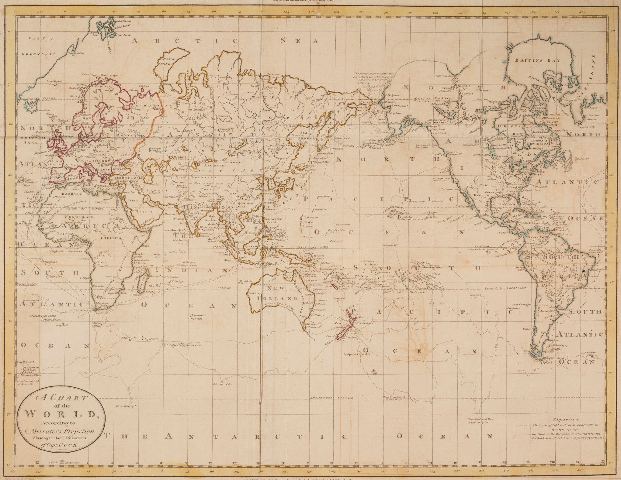
World Map by William Guuthrie published in 1785. General map of the world with tracks of Captain Cook’s voyages and earlier discoveries.
Extensive detail of the tracks of various explorers. Shows Tasmania connected to the Australian mainland, as Bass straight was not yet mapped.
Available in 3 sizes:
- Small 34.8cm x 29cm
- Medium 47.8cm x 39cm
- Large 67.2cm x 54cm
Available in 3 Frame Types, Black, Dark Brown Wood and Light Brown Wood.
High quality framing with Non-Reflective glass. Printed on Ilford GALERIE Prestige Fine Art paper. 10 to 15 day turnaround for framing, but let us know if you need it by a particular date and we will try our best to make it happen.
Other sizes and frames available, email hello@historyguild.org for more. The sale of these prints funds our history education programs, thank you for your support.
Additional Info
Additional information
| Size | Small, Medium, Large |
|---|---|
| Frame | Black Frame, Dark Brown Wood Frame, Light Brown Wood Frame |