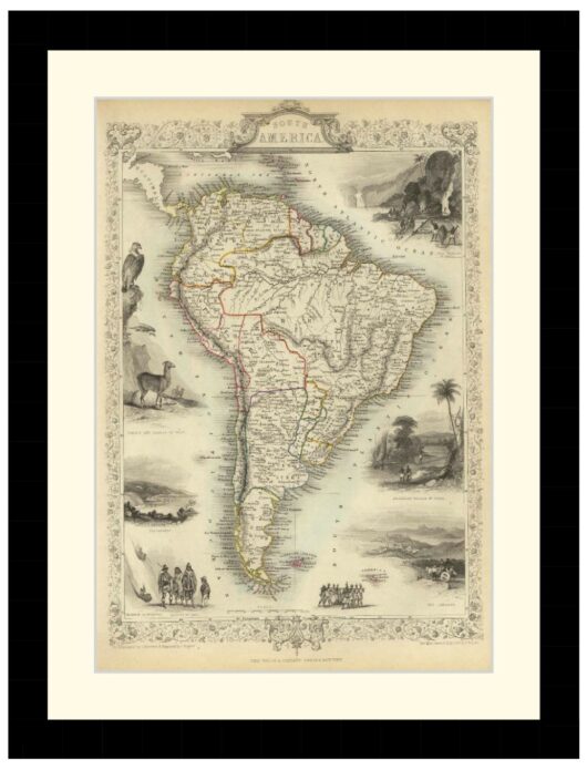
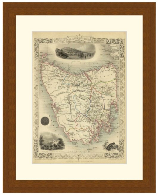
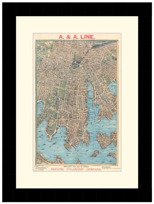
Map of Sydney, 1853 – Framed Print
Price range: $149 through $319
Description
Description
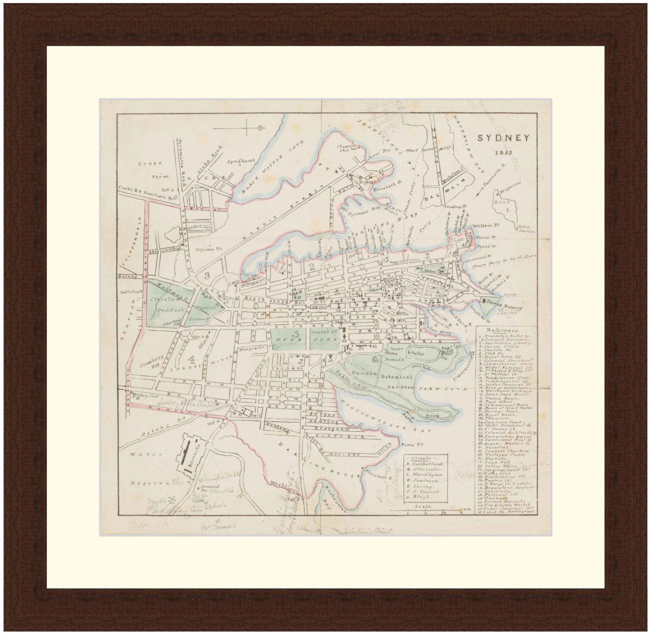
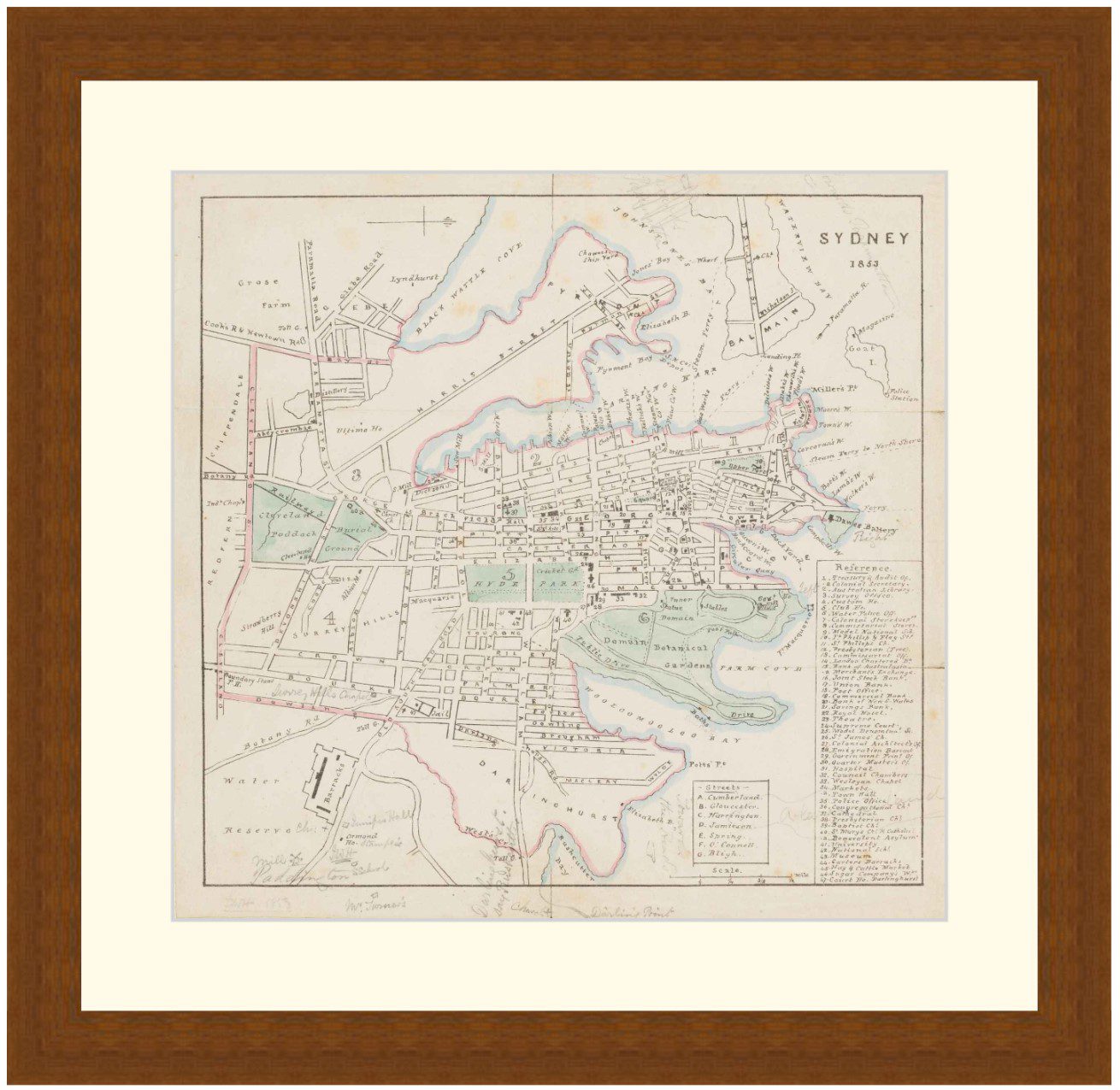
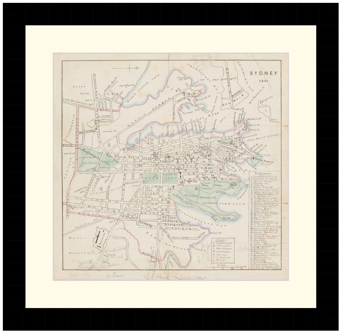
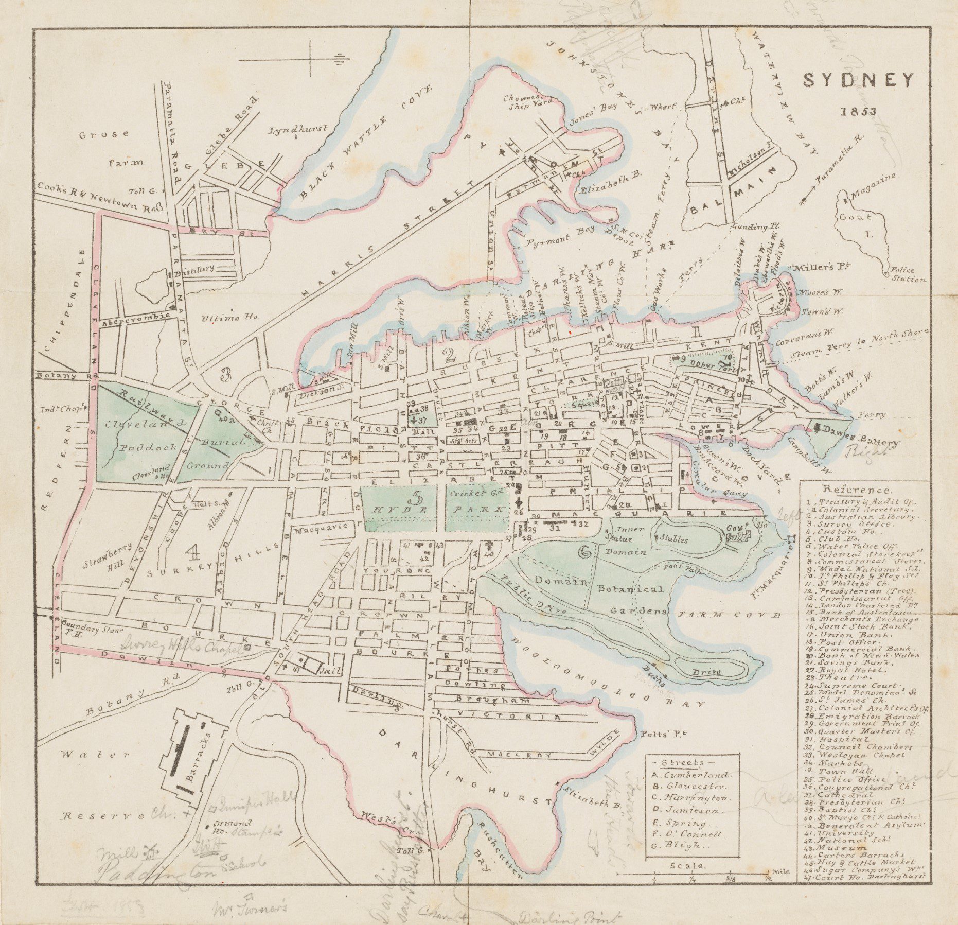
Map of Central Sydney, drawn by John W. Hardwick in 1853. Printed map with handwritten annotations.
Shows the Sydney CBD, Balmain, Glebe, Pyrmont, Darlinghurst, Surrey Hills, Redfern and Chippendale.
Available in 3 sizes:
- Small 29.7cm x 29cm
- Medium 40.1cm x 39cm
- Large 55.6cm x 54cm
Available in 3 Frame Types, Black, Dark Brown Wood and Light Brown Wood.
High quality framing with Non-Reflective glass. Printed on Ilford GALERIE Prestige Fine Art paper. 10 to 15 day turnaround for framing, but let us know if you need it by a particular date and we will try our best to make it happen.
Other sizes and frames available, email hello@historyguild.org for more. The sale of these prints funds our history education programs, thank you for your support.
Additional Info
Additional information
| Size | Small, Medium, Large |
|---|---|
| Frame | Black Frame, Dark Brown Wood Frame, Light Brown Wood Frame |