Map of Asia c1650 – Framed Print
$149 – $319
Description
Description
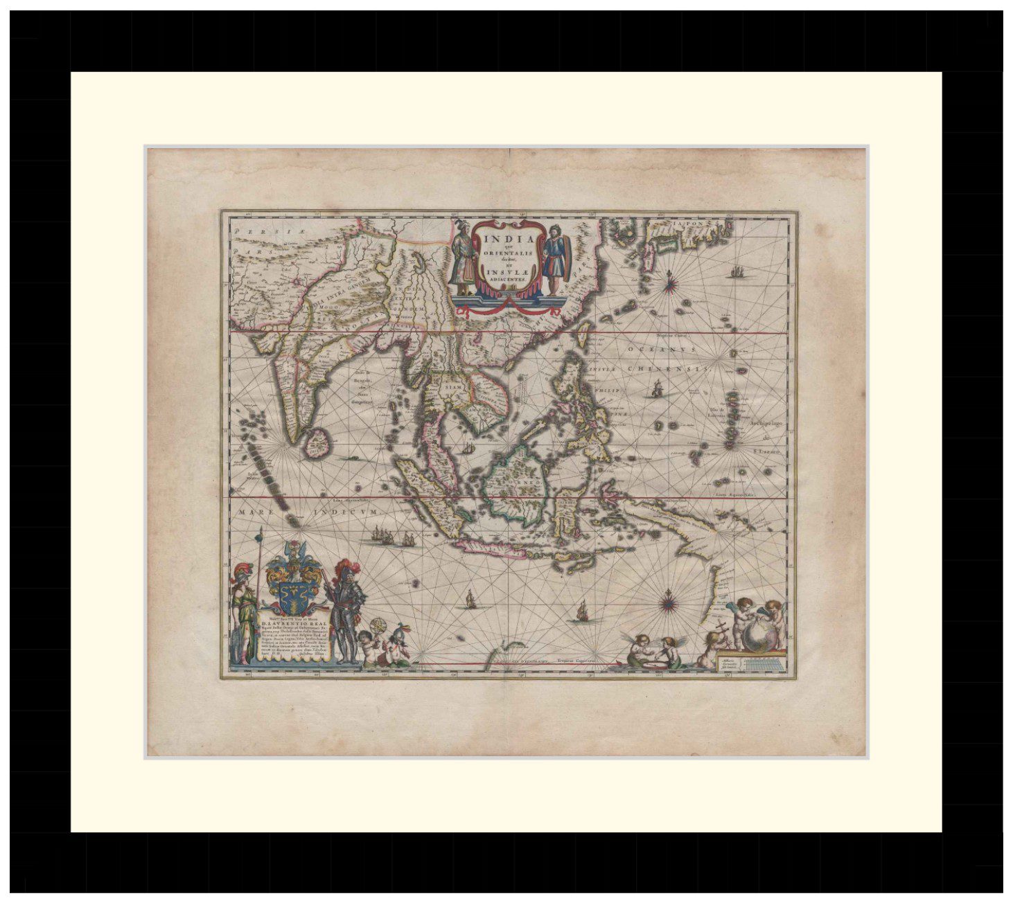
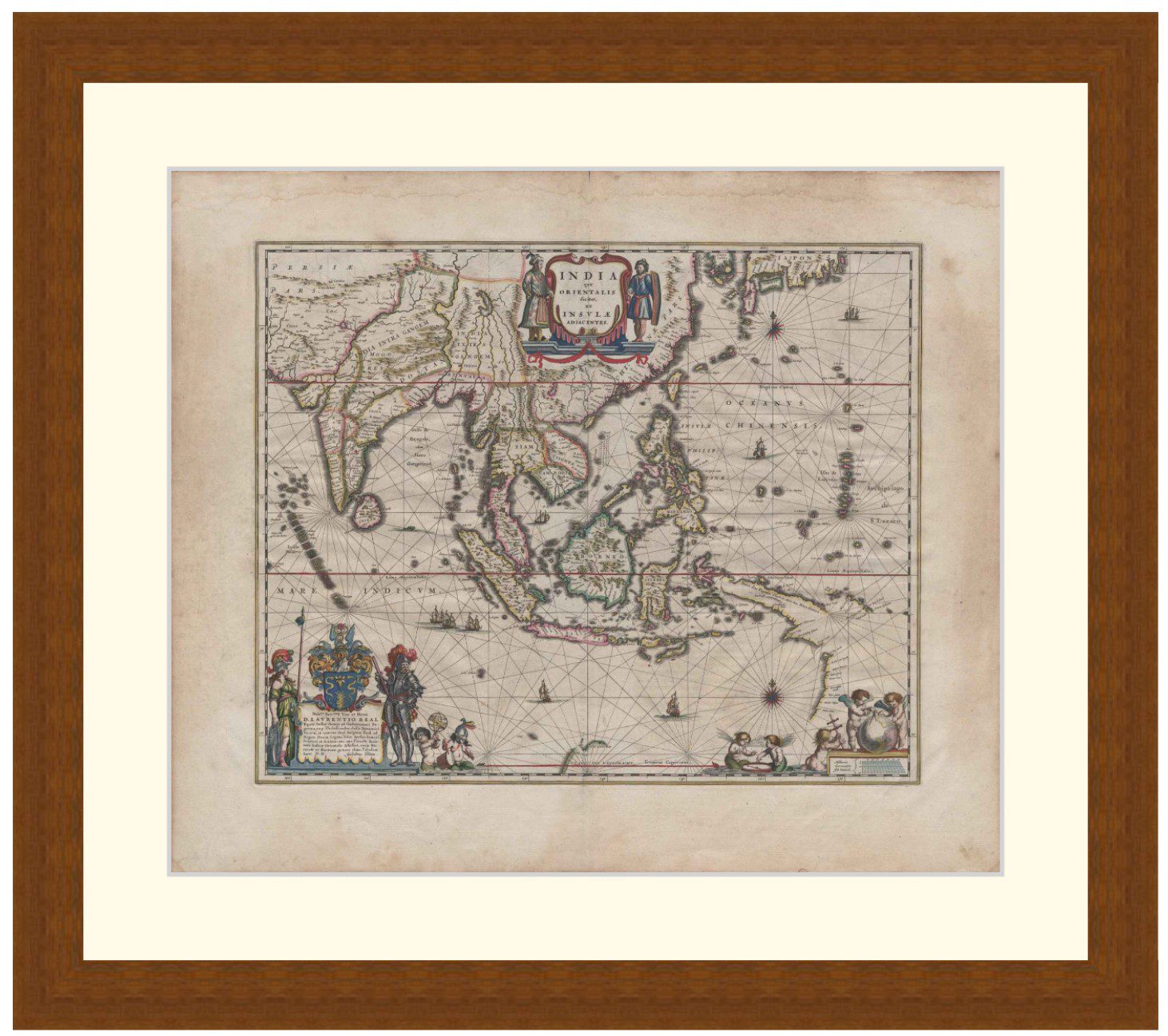
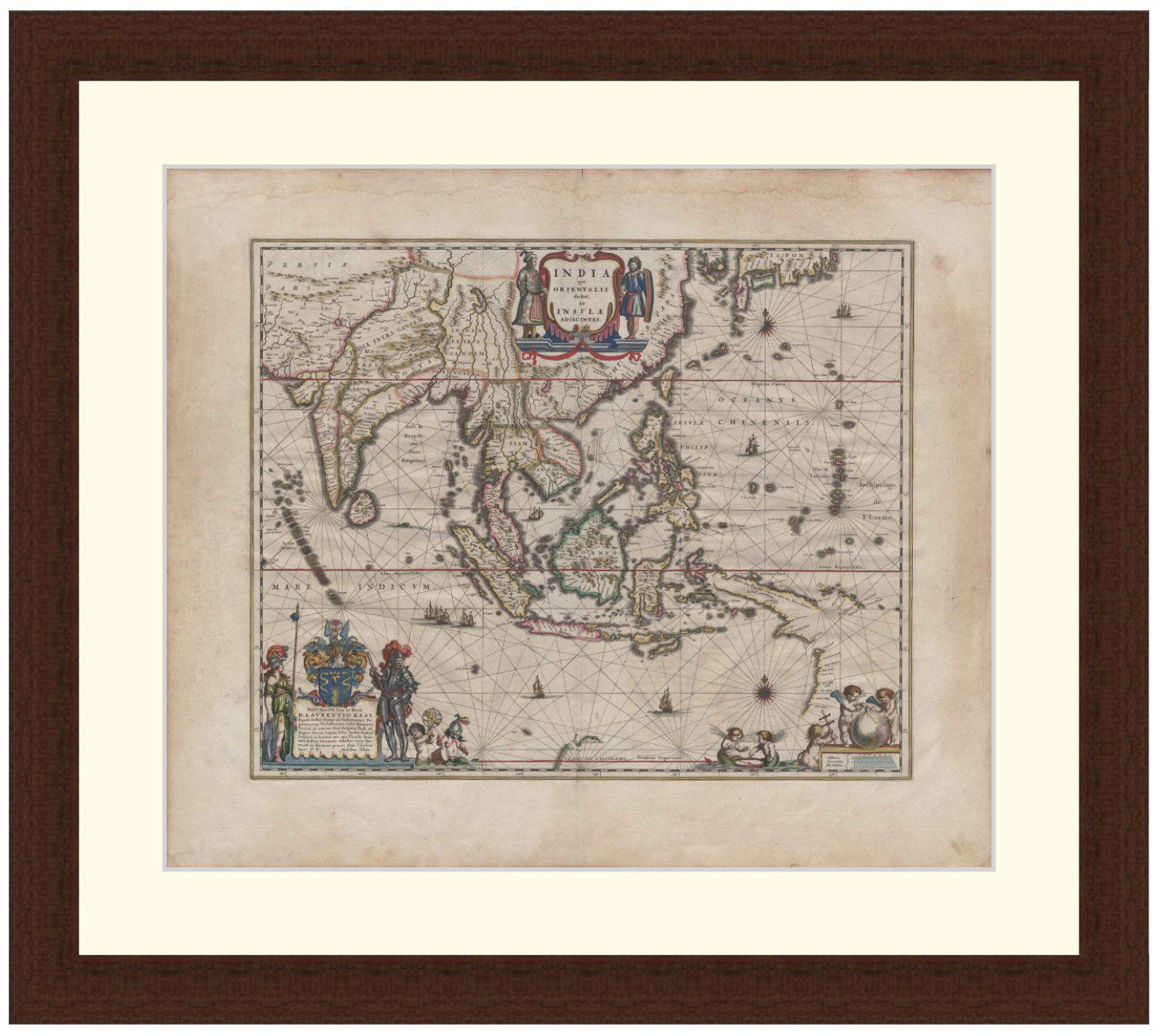
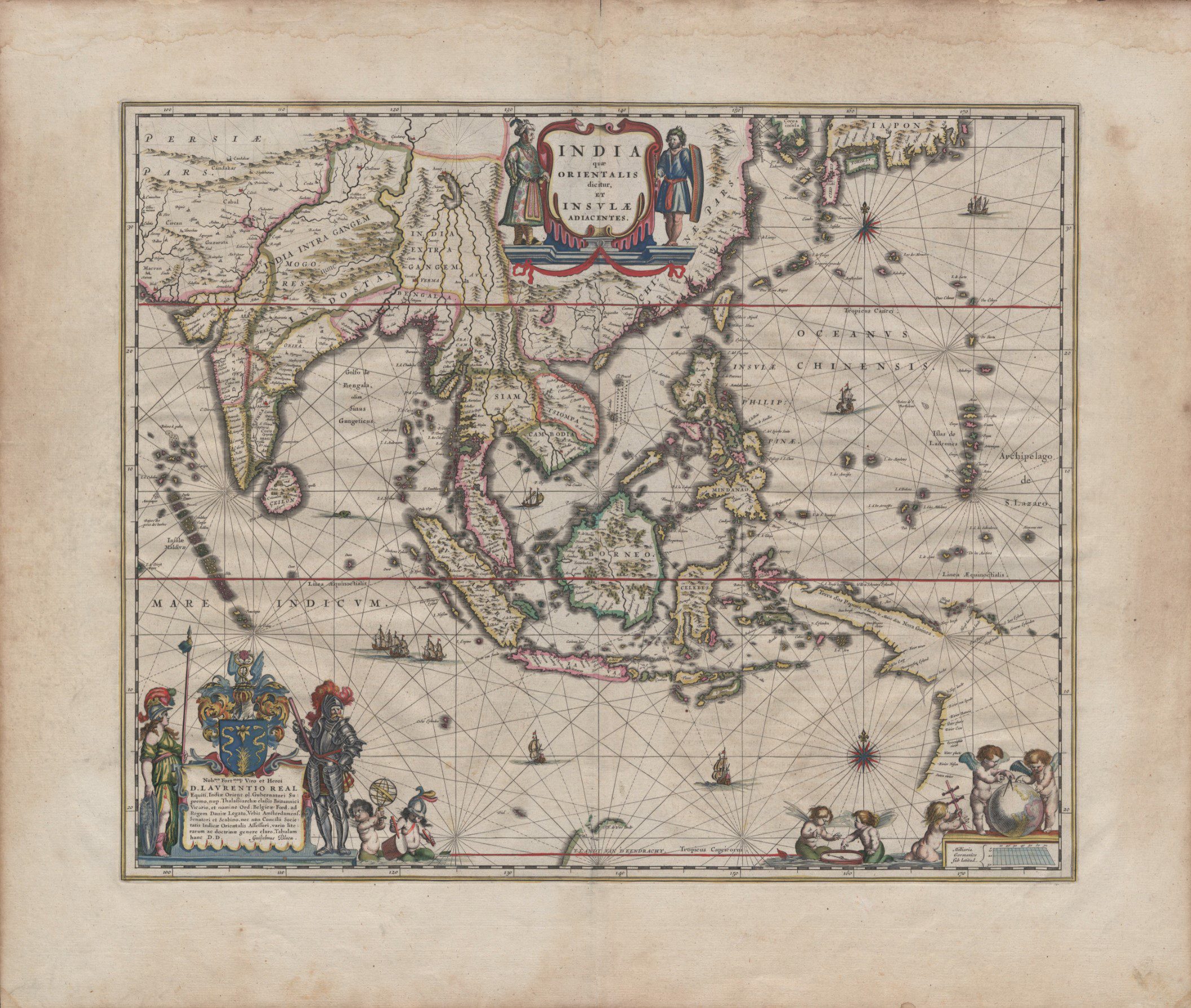
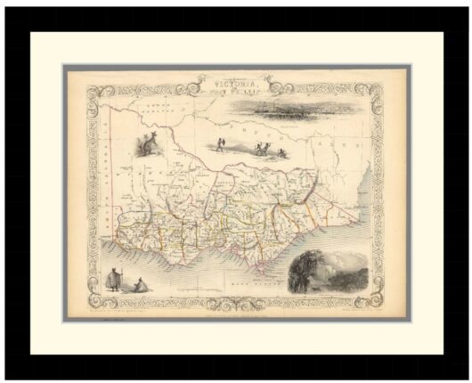
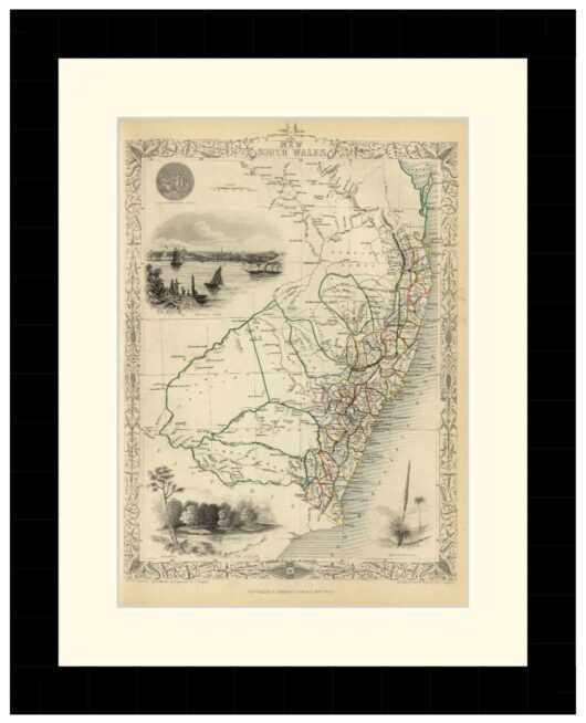
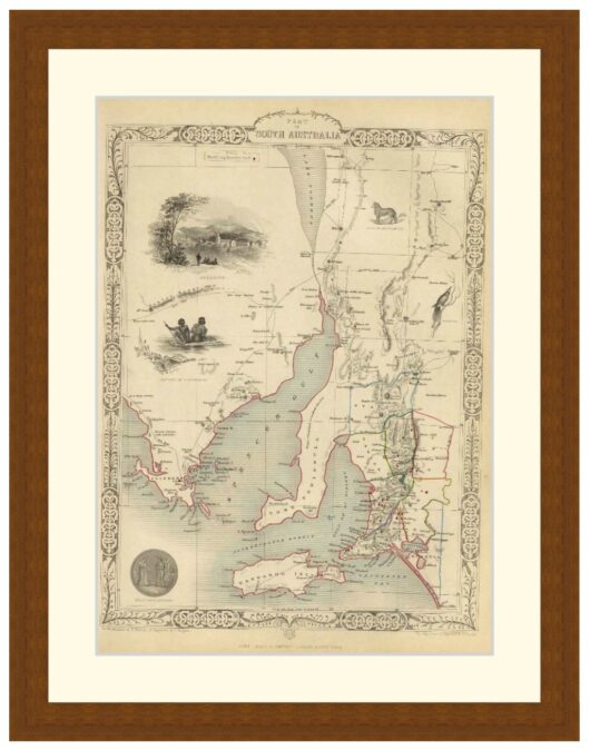
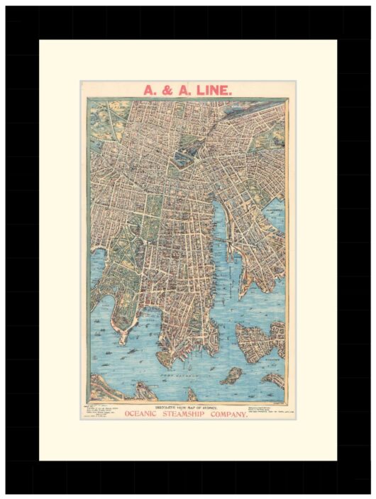
Map of Asia from c1650. Drawn by Willem Janszoon Blaeu shows islands, rivers, mountains, place names, ornamental scale, rhumb lines and compass roses.
Map depicts south and southeast Asia, northern coast line of New Guinea, southern coast line of Japan and the west coast of Australia.
Available in 3 sizes:
- Small 32.6cm x 29cm
- Medium 44.5cm x 39cm
- Large 62.2cm x 54cm
Available in 3 Frame Types, Black, Dark Brown Wood and Light Brown Wood.
High quality framing with Non-Reflective glass. Printed on Ilford GALERIE Prestige Fine Art paper. 10 to 15 day turnaround for framing, but let us know if you need it by a particular date and we will try our best to make it happen.
Other sizes and frames available, email hello@historyguild.org for more. The sale of these prints funds our history education programs, thank you for your support.
Additional Info
Additional information
| Size | Small, Medium, Large |
|---|---|
| Frame | Black Frame, Dark Brown Wood Frame, Light Brown Wood Frame |