0 Items
Search for:
Australians in the Mediterranean, WWII
World History Course
Framed Historical Prints
Articles
Articles
Military History
Military History
World War 1
World War 2
Australians in the Mediterranean, WWII
Cold War
Naval
Political and Economic History
Political and Economic History
Revolution
Colonialism
Slavery
Social and Cultural History
Social and Cultural History
Women
Work
History Quizzes
About Us
About Us
History Guild Contributors
Organisations and Resources Directory
Historical Maps, Prints, Photographs and Books
Copyright Info
Privacy and Refund Policy
Contact Us
Select Page
Map
Home
/
Products tagged “Map”
/ Page 3
Showing 61–64 of 64 results
Sorted by price: low to high
Sort by popularity
Sort by latest
Sort by price: low to high
Sort by price: high to low
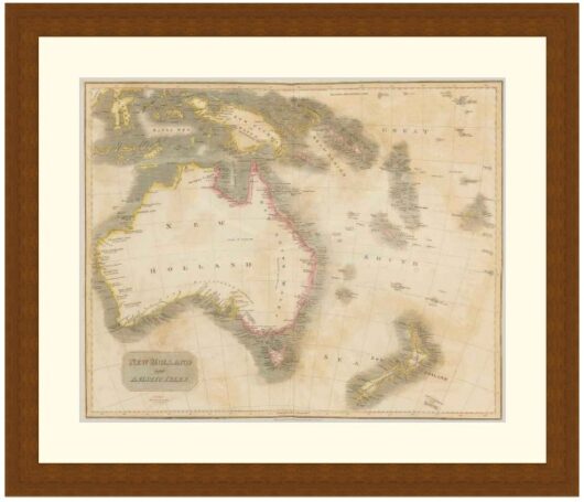
Map of New Holland and Asiatic Isles, 1814 – Framed Print
$
149
–
$
319
Price range: $149 through $319
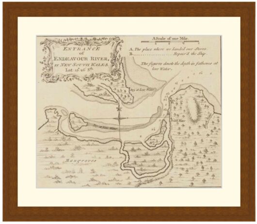
Entrance of Endeavour River, as Mapped by James Cook, 1848 – Framed Print
$
149
–
$
319
Price range: $149 through $319
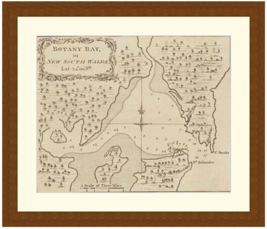
Map of Botany Bay, New South Wales, 1848 – Framed Print
$
149
–
$
319
Price range: $149 through $319
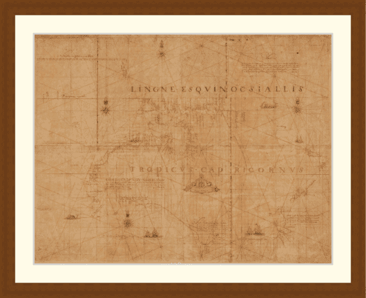
Map of Australia, New Guinea, New Zealand showing the results of Abel Tasman’s voyages of 1642-3 and 1644 – Framed Print
$
149
–
$
319
Price range: $149 through $319
←
1
2
3